Popular World Heritage Sites and Heritage Sites of Sri Lanka
Popular World Heritage Sites and Heritage Sites of Sri Lanka
Popular World Heritage Sites and Heritage Sites of Sri Lanka
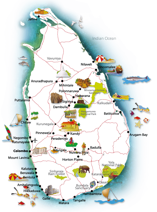
Anuradhapura
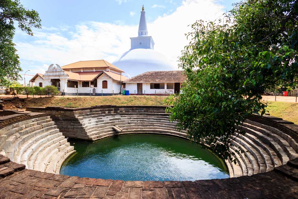
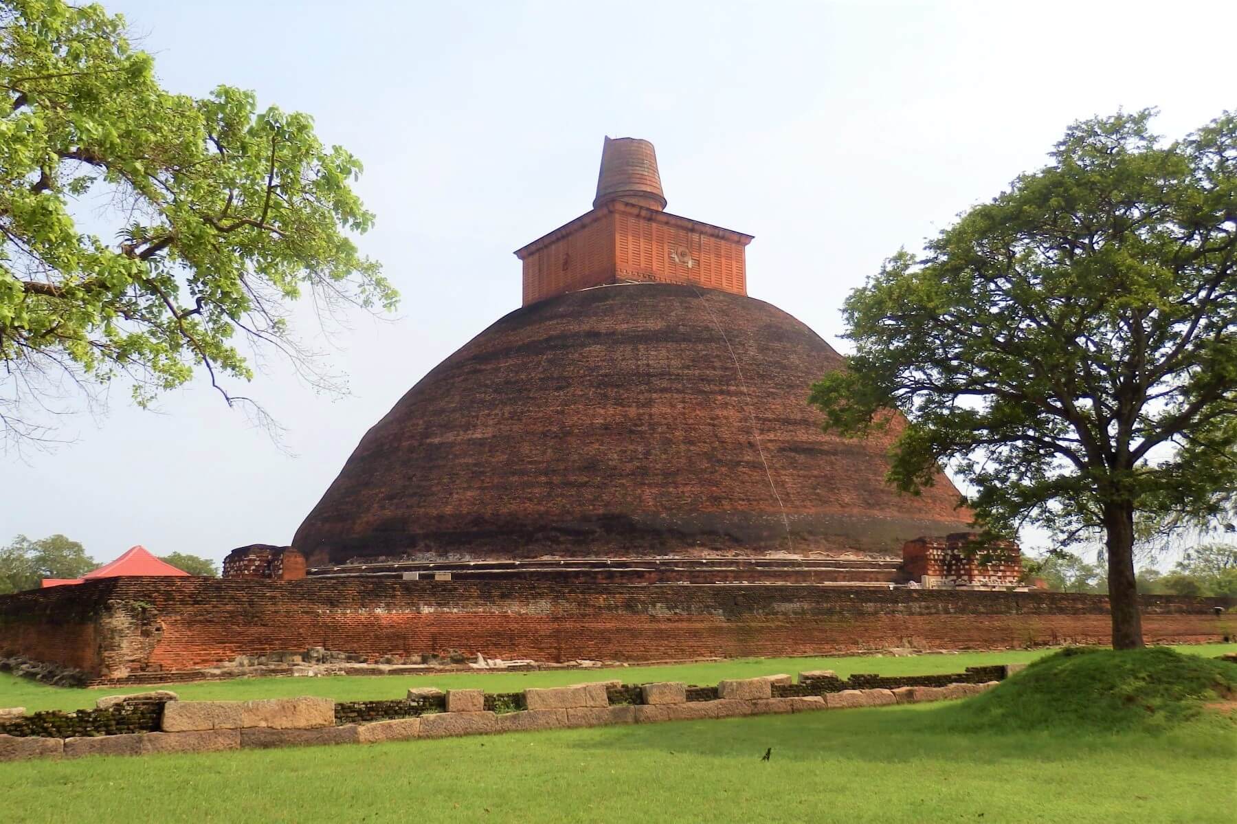
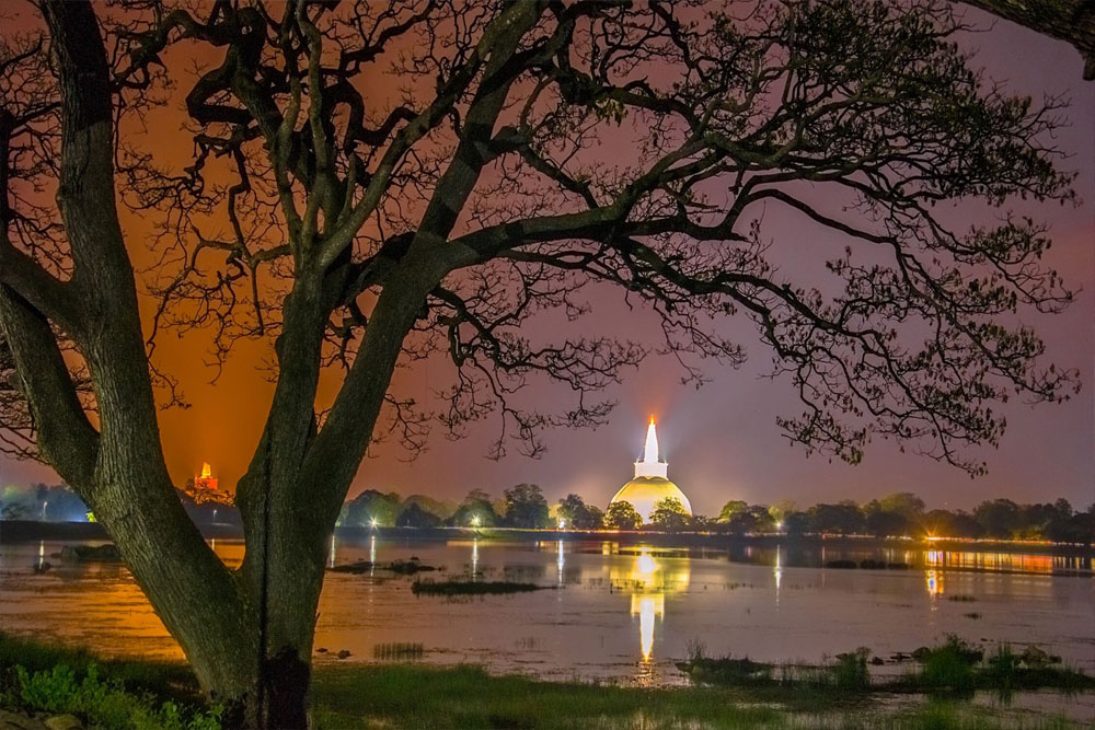
Situated at the bank of river Malwathu Oya in the North Central Province and distance is around 210km from Colombo and 4 hours drive without stop. Declared as a World Heritage site in year 1982 by UNESCO. One of the most stable and versatile centers of Political power and urban life in the South Asia. From 4th Century BC to 11th Century AD this was a wealthy city with unique culture and a great civilization, Sacred to the Buddist world even today, frequent with numerous Buddhist monasteries and is one of the world’s major archaeological sites. It is Sri Lankan 1st Kingdom.
Attraction worth seeing are Secret Bo Tree (Ficus religiosa) which is recorded oldest tree in the world, Abhayagiri monastery, Jetavanaramaya monastery, Ruwanwali seya, Brazen Palace, Samadhi Buddha statue, Kuttam Pokuna. Moonstone, Guard Stone, Issurumuniya & etc.
Mihintale
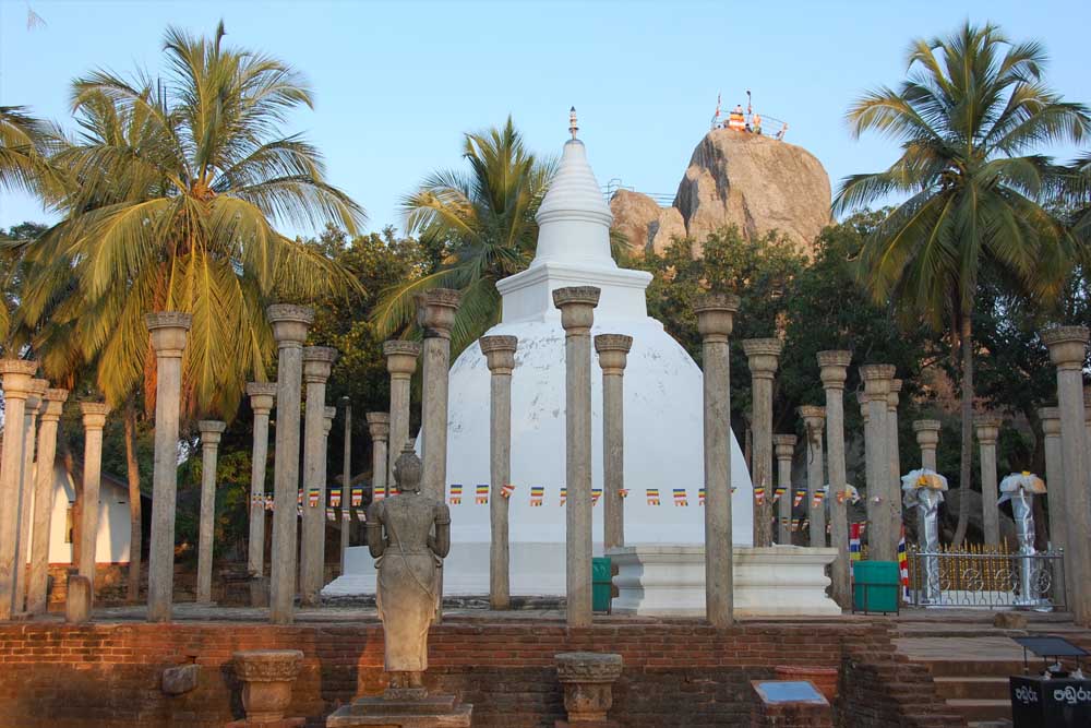
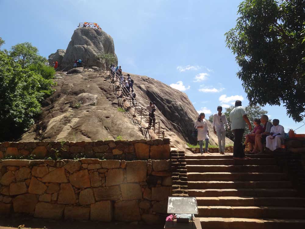
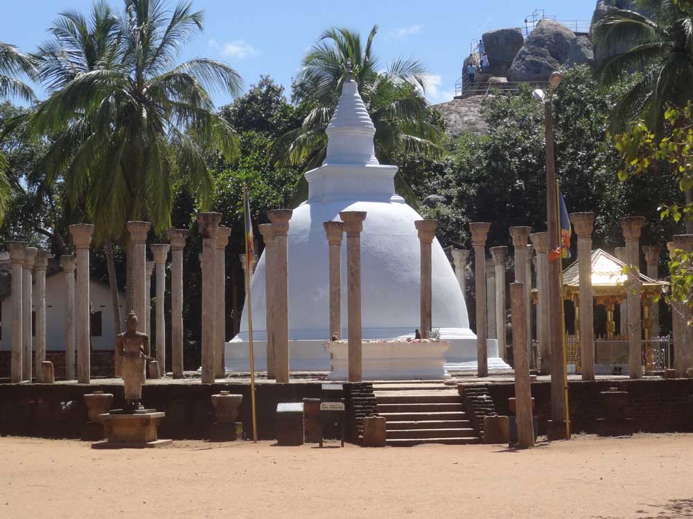
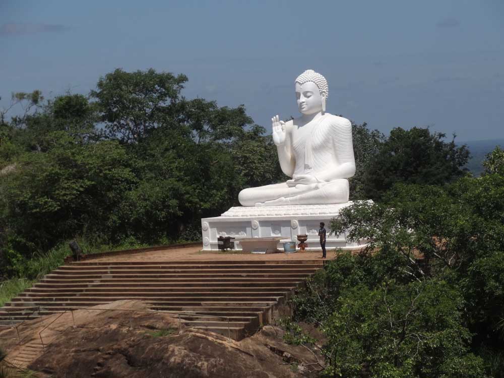
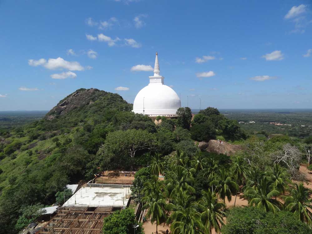
Mihintale is the place where Buddhism was introduced officially to Sri Lanka on the Poson (June) full moon day in the year of 247BC. Since then Mihintale is considered as the cradle of Buddhism and Buddhist civilization of the Country. When you visit, there are wide and stunted 1840 steps in number up to the summit and it has become the icon of Mihintale. You can see the Ancient Hospital, Lion’s Pond, slab inscriptions, Refectory hall, Stupa, statues and etc.
Polonnaruwa
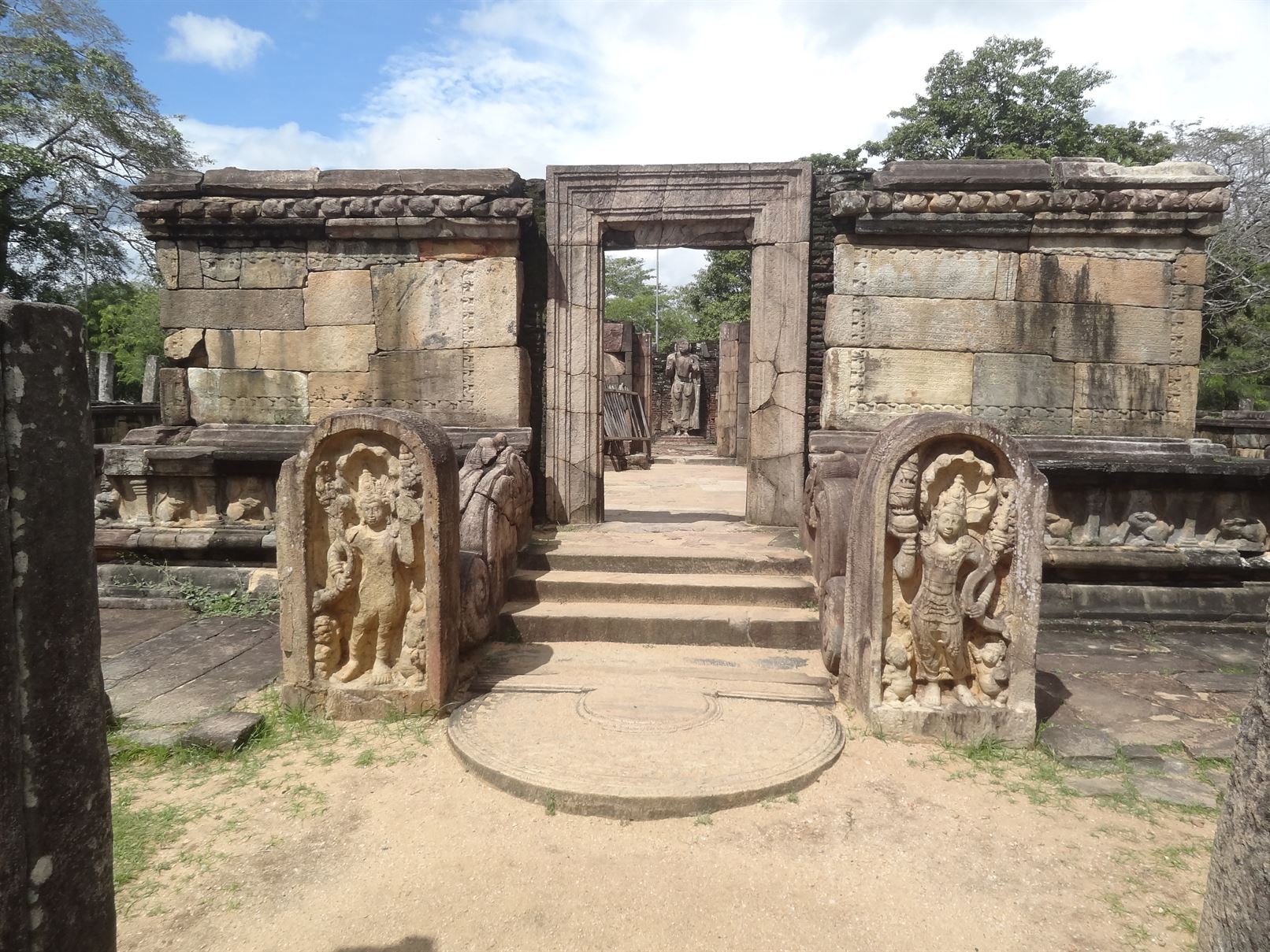
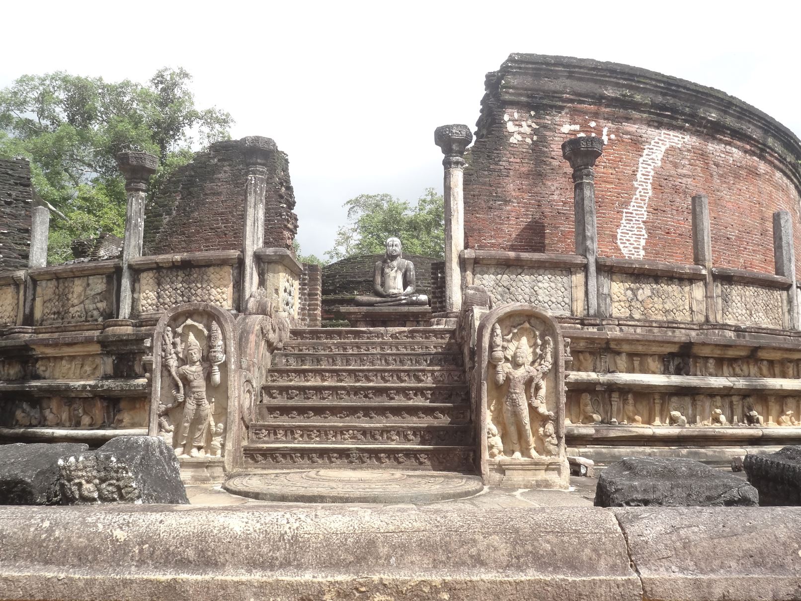
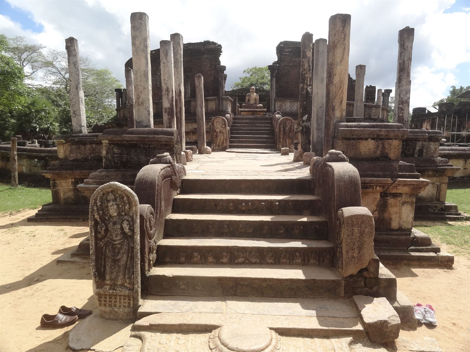
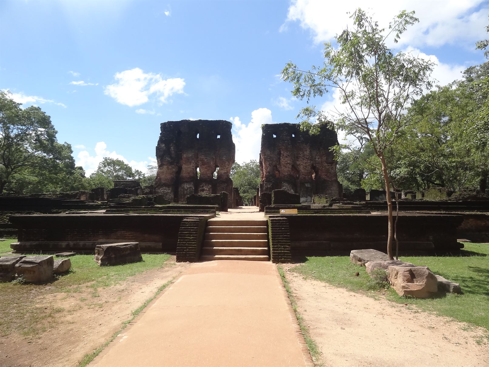
Polonnaruw is located in east-central Dry Zone and east of Anuradhapura and distance is around 240 km from Colombo and 4.5 hours drive without stop. This is the medieval capital of Sri Lanka with the most beautiful historical sites. Declared as a World Heritage site by UNESCO in 1982. From11th Century BC to 13th Century AD Polonnaruwa was derived mainly from agriculture and done large irrigation projects. Created seat of learning at Alahana Parivena (World Heritage site) about the time Padua and Oxford established in Europe. The significanc of this historical city was that the unanimous attitude of Sinhala and Tamil nations as well the harmony of Buddhism and Hiduism which amalgamated very well during this period.
Attraction worth seeing are large scale of irrigation project such as Parakrama samudraya, Palace complexes, monastic libraries, Hindu temples, Quad tangle, stupa, huge statues,chapter houses, university complex, Council chambers, gal viharaya and etc.
Sigiriya (Lion’s Rock)
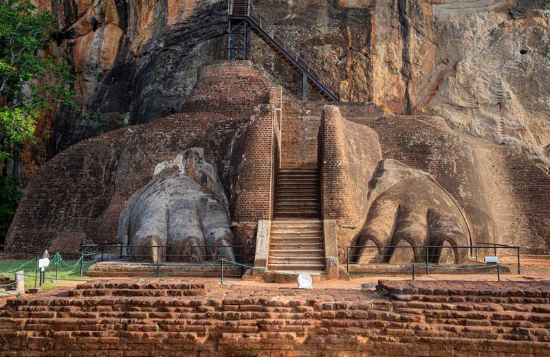
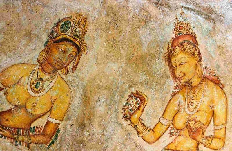
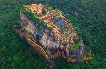
Sigiriya is a World Heritage Site declared by UNESCO in 1982. This is one of the Asian’s major Archeological sites. Sir Auther C. clerk once introduced Sigiriya as the Eight Wonder of the World. The monolith rock is named as Sigiriya, because of the shape of the rock as well as due to the later developments by the King Kasyapa. It is not only a fortress but in fact it is well planned multifaceted royal city with a palace on the summit of approximately 200 meters high rock, extensive assemblage of buildings, parks, ponds and pathways etc, covering an area of more than 15 hectares enclosed by ramparts and moats. According to the archeologists and historians “Sigiriya” is a unique combination of 5th Century urban planning, landscaping, hydraulic management, engineering, architecture, painting, sculpture and poetry. Sigiriya builders followed conserve or enhance the environment and maintain symmetrical presentations.
Sigiriya palace complex is consisted West, Southern and Northern entrances, ramparts and moats, Pleasure and water gardens, Frescos, Mirror wall, Lions Paw, Summit, Sigiriya artificial lake (Maha wewa), Inner and outer cities, 7km long earth dam & Museum.
Dambulla Golden Rock Temple
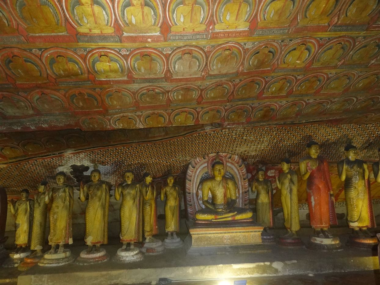
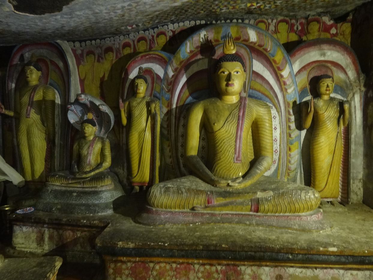
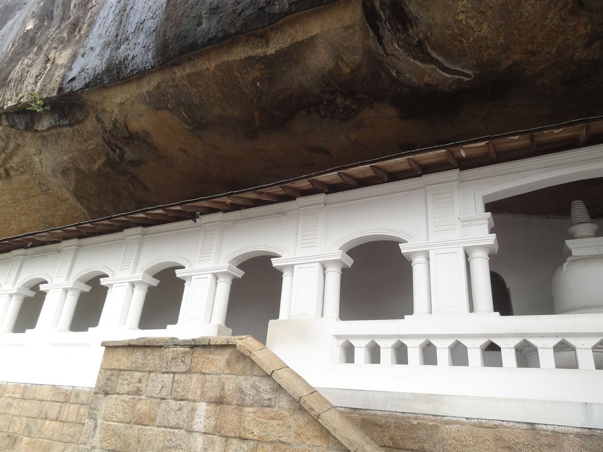
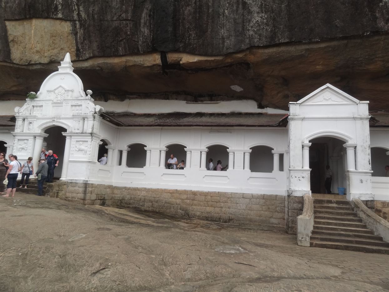
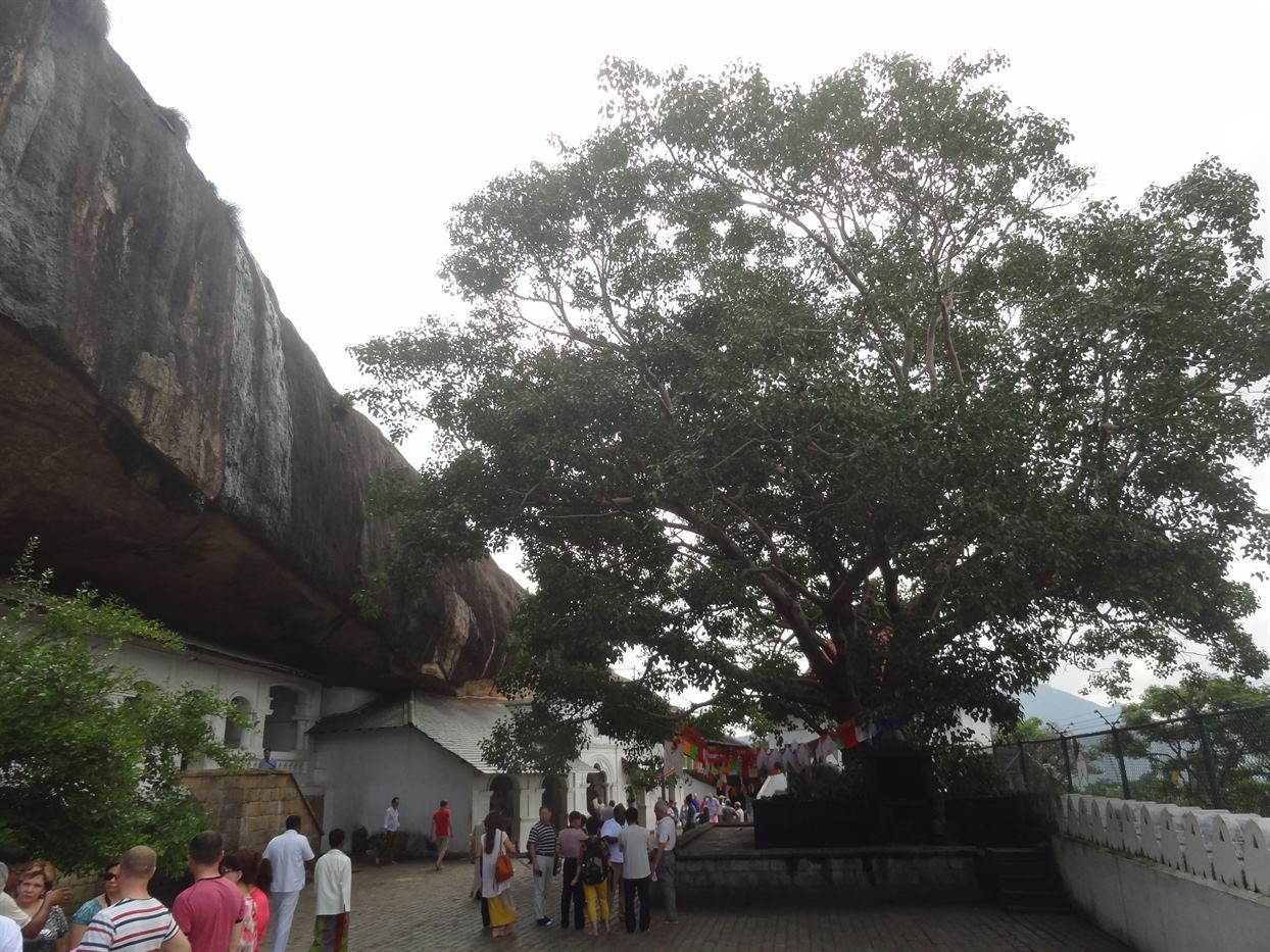
Dambulla is located around 150km from Colombo and 3 hours drive without stop. This site located 2km south of Dambulla town and 20km southwest of Sigiriya, gigantic granite outcropping rising 160km above surrounding plain, more than 1.5km around base of rock. Numerous inscriptions found at Damulla and other oral traditions suggest that this temple was built in the 1st century BC., by king Valagamba. This is a world heritage site declared by UNESCO in year 1991. The complex consists with 5 caves, where people considered as image houses. This complex of caves consists great number of Buddha statues and more than 20,000 sq.ft of paintings which call tempera style which give a magnificent look to the temple. Most Buddha images and paintings what we can see today belongs to Kandyan period, i.e. 17th and 18th centuries. A part of paintings belongs to Sigiri period (5th century) can be seen outside between 3rd and 4th caves and all the paintings belongs to the Neelagama Sitthara generation.
Yapahuwa Rock Fortress
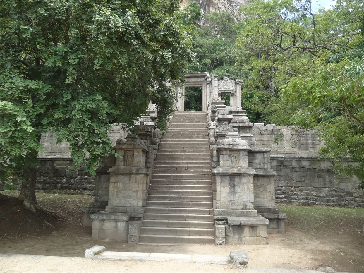
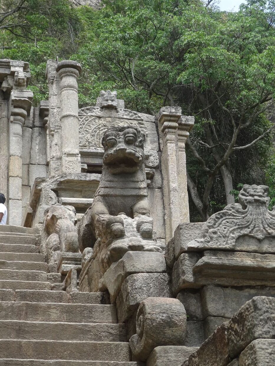
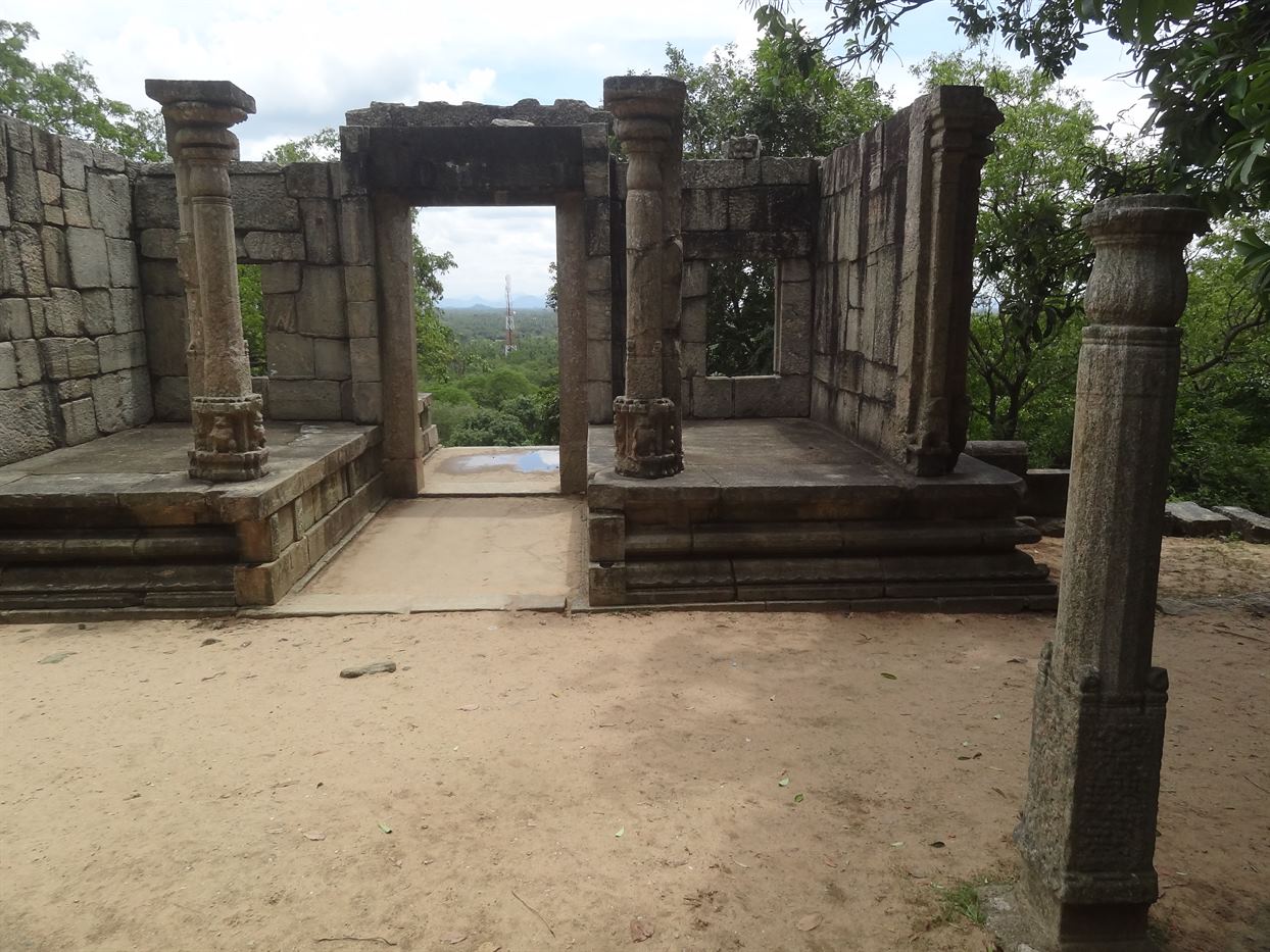
Rock fortress that serve as 13th century Sri Lankan Capital located between Kurunegala and Anuradhapura, 90m high flat-topped hill. Capital transferred here in 1272 by Buwanekabahu I. Fortification surpassed only by those at Sigiriya, Most impressive element is porch leading to terraced staircase. Best ruins, ramparts, Tooth Relic temple, stone carving and 4 women dancers could be seen here with famous stylish lions. Palace not built on summit like that at Sigiriya. Two semicircular moats and walls protected royal complex. Top of rock has stupa, Bodhi tree shrine and Buddha cave shelter. Several more caves at base of rock one with Brahmi inscription.
Kandy
Kandy is a living world heritage city declared by UNESCO in 1988. In Sinhala it is call ‘Maha Nuwara” which means The ‘The Great City’. Kandy is supposed to be the second capital city of Sri Lanka after Colombo. The last capital of Sinhaese kings, Kandy is remarkable for natural beauty of its setting in peaceful natural surrounding with an artificial lake. King Wimaladharmasuriya I made it the capital city of the country in Kandy is considered as city which preserves countries’custom and traditions. There are still traditional families and also villages, which engage in age-old Kandiyan arts and Crafts. Kandiyan dance, Silver, brass, copper embossed ornaments and jewelry, woodcarving, Dumbara mats, Gem stones studded jewelry are very popular among the tourists.
Very important place to visit in Kandy is the ‘Temple of the sacred tooth relic’. The tooth relic was so important that the king didn’t want to lose at any cost. Therefore kings took the relic with them, whenever they changed the kingdoms and capitals. Therefore the Tooth relic of Buddha too travelled along with the Kingdoms. The king used to build the toothrelic temple adjoining the royal palace. As a tradition, all tooth relic temples were two storied buildings and the Tooth Relic casket was placed in the second floor and it is paladin of the kingship. Since Kandy is our last Kingdom, tooth relic of Buddha placed at Kandy Temple of the sacred tooth relic.
Kandy Esala Perahera / Dalada Perahera (The Pageant): The Dalada Perahera is held during the month of July / August. In the ancient history, Asala festival was originated as a ritual of worshipping rain god Parjanya. The perahera parades 10 days in and around the respective temples and on the streets of the city in the night. The last two days; the grandeur of the festival with 60 to 70 caparisoned elephants, thousands of drummers and dancers, traditional torch bearers flag bearers and temple officials with the chieftains of Sacred Tooth Relic temple and four Devalas with their traditional costumes is presented to the thousands of people, who gather along the streets to witness it. The perahera casket is placed on the back of the chief elephant in the temple. This is regarded as a unique pageant in the whole Asia which depicts a cross section of traditions, art and crafts and also the enthusiasm of Sri Lankans to pay homage to the Tooth Relic. The Perahera end with the day Perahera after “Water cutting” ceremony Facilities are made for the tourists to witness the Perahera without any difficulty.
Galle Fort
The Galle fort has declared as a World Heritage Site in 1988, which contains the Portuguese, the Dutch and the British period architecture and constructions. Galle is one that has impressive and irreplaceable number of heritage sites and the only living old city and it remains the beast example of fortified city built by Europeans in South and South-East Asia, during the period of 16th to 19th century AD. Galle was the most prominent ancient International Trade center known to all over the world. The location of this natural harbor, it gained prominence as an important trading center in olden days. Portuguese came to Galle unexpectedly in 1505 and they started constructing Galle fort in 1589. When Dutch captured the fort in 1640 after a decisive battle with Portuguese, they widened the moat and fortified with 12 bastions around the rampart. Spread over 90 acres glle fort contains storerooms, Dutch churches, lighthouse and many other buildings influenced by Dutch architecture. When British arrived Ceylon in 1796, the fortified port was an important hub of trade and shipping being strategically located for traffic between the Arabian Peninsula and East Asia., but playing an important role in local and regional trade. Dutch had to hand over all the colonies in the East after a peace treaty of Amiens France in 1802.
Galle fort tourist attractions are: Museums, bastions, Black fort, Old gate with emblems of VOC and English, (in and out) wall, Kruise Kerk, (Dutch Reformed Church) mosque, Light house, commander’s House, belfry Anglican Church, Clock Tower, Dutch Hospital and etc.
Sinharaja Rain Forest
Sinharaja forest is a Tropical Lowland Rainforest or Tropical Wet Evergreen Forest. The forest at its lowest is 270m above the sea level. Last remaining virgin rainforest in Sri Lanka and one of the few virgin forests left in the world. The forest is encircled by 3 administrative districts viz. Galle and Matara Districts in Southern province and Ratnapura District in Sabaragamuwa province. In 1988, Sinharaja forest was announced as a National Wilderness Area, and subsequently as a World Heritage Site by UNESCO. It has ecological and biodiversity value and also its scenic beauty also marvelous. The rainfall in the area is very much high throughout the year. The average annual rainfall of Sinharaja is within the range of 3,000 to 6000 mm and average annual temperature of Sinharaja is 23.60C. The forest covers an extent of approximately 11,187 hectares.
Sinharaja is a rich treasure trove of nature with a great diversity of habitats. It is home to 95% of the endemic birds of Sri Lanka. The rare endamiic birds to be seen in Sinharaja are the Red-face Malkoha, the Sri Lankan Blue Magpie, the Ashy-headed Babbler, and the White – headed Starling and the Green – billed Coucal etc. This forest also sheltered the large varieties of wild orchids, epiphytes and lianas as well. 139 out of 211 varieties of trees and creepers within the Sinharaja Hump-nosed Viper are commonly found snakes in this forest and they are endemic to Sri Lanka. In Sinharaja, water monitors, torque macaques, giant squirrels, purple-faced leaf monkeys and leeches are common. Many streams start from the high grounds of Sinharaja and fall into bigger rivers.
There are four main routes of access to Sinharaja; 1. Kalawana – Weddagala road (Ratnapura District) 2. Rakwana – Morning side estate roads (Ratnapura District) 3. Hiniduma – Neluwa roads (Galle District) 4. Deniyaya – Pallegama roads (Matara District).
There are foot paths in the reserve created by the people in the boundary villages. People who are looking for fruits, raisins, and firewood, cane and bees’ honey and herbal medicines left their foot prints as the forest is theirs. These footprints are helpful to the visitors too.
Visitors are welcome as long as they go in; leave nothing other than their footprints. In addition, take nothing except the wonderful memories and photographs of Sinharaja.
Central Highlands
Cntral Highlands consist of Horton Plains, Knuckles Mountain Range and Adam’s Peak. Central Highlands , the area comprising the Peak Wilderness Protected Area. The Horton Plains National Park and the Knuckles Conservation Forest had been declared as a World Heritage Site in 2010 by UNESCO.
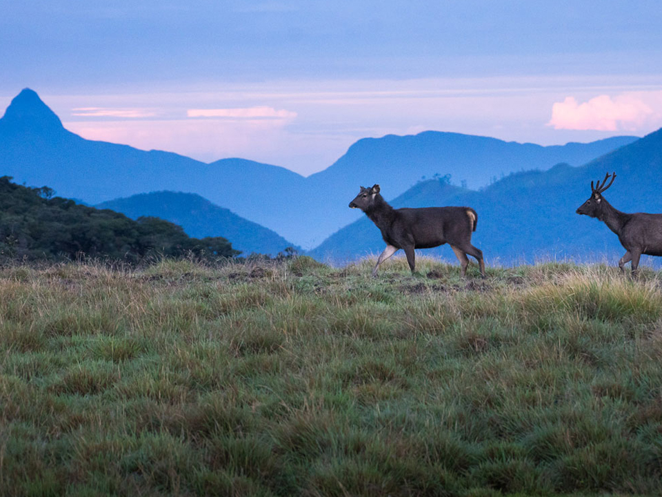
Horton Plains, which is 2100m above sea level and 3,160 hectares is rich in biodiversity and many species found here are endemic to the region. Evidence from Horton Plains indicates the existence of agriculture (herding and farming of Oats) by about 8000BC. On 18th March 1988 it was elevated to a national park, because of its biodiversity value and the climate pattern. Mahaweli, Kelani and Walawe rivers radiate from Horton Plains summit and most of the vegetation in th plains is grasslands interspersed with montane forest. Big trees are gnarled due to constant cold wind. The trunks and Branches of the trees are naturally decorated with varieties of ferns, lichens and orchids. The verbrate fauna of the Horton Plains includes 24 species of mammals, 87 species of birds, 8 species of amphibians. Large herds of Sambur are abundance in the forest area. The Sri Lankan Elephant disappeared from the region in the 1940s cause by hunter’s activities. Mammal found in the park are Toque Macaques, Purple-faced leaf monkey, Rusty-spotted Cat, Sri Lankan Leopards, Wild boars, Stripe-necked Mongooses, Rhino horn lizards, Fishing Cats and Otters etc. It contains 21 endemic bird species such as Sri Lankan Blue Magpie, Dull-blue Flycatcher, Sri Lankan White-eye, and Sri lanka Wood pigeon, Sri Lankan Spur fowl, Sri Lankan Jungle fowl (National Bird of Sri Lanka) etc. Many birds migrate here in winter including swiftlets, and Alpine Swift etc.
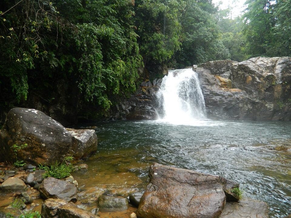
The fathomless precipice of World’s End with a 870m drop is an attractive place for tourists. Another cloff known as the Little World’s End of 270m is located not far from Baker’s Falls, a waterfall formed by Belihul Oya is named after Sir Samuel Baker, ahunter the falls are 20m high. ‘Slab Rock Falls’is another well-known waterfall in the National Park.
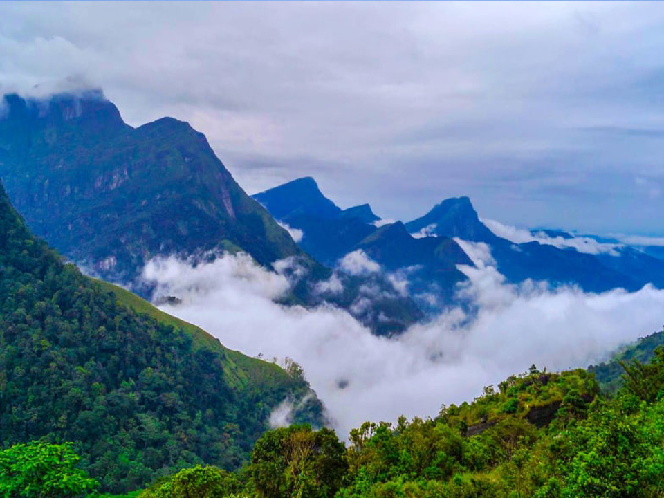
Knuckles Mountain Range, known as the Knuckles National Heritage and Wilderness area. To the natives it is Dumbara Kandu Yaya’, which means the misty mountain range which is named ‘Knuckles’ mountain range given by British surveyors during colonial period as it resembles the knuckles of a clenched fist, has 9 peaks over 1220m and the highest peak “Gombaniya” is 1906m high. The extent of the famous ‘Pitawala Pathana’(Pitawala Grassland) is 20 Hectares. Peaks interspersed with streams and cascading waterfalls seen within the knuckles mountain range. Mini World’s end is a cliff 1192m drop, located at the southern end of knuckles range. It is a fine point for observation in the Knuckles range. From this location, the panoramic view of the Knuckles range and some of the villages situated in the foot hills of the Knuckles can be seen. Solitary cloudd forests are also found at higher elevations of the Range. The solitary cloud forests are also found at higher elevations of the Range. The altitude is 915m from sae level and covers an area of about 234 Sq.km. Temperature range between 5.50 to 280 degrees Celsius. The humidity in the range lies between 57% – 90%. Average rainfall annually prevails 2500mm to 5000mm. the mountain range gets rain from both Monsoons. From May to September, there is the Southwest monsoon and from November to March, the Northwest monsoon. Maximum rainfall is during October – January and minimum rainfall from February to September, Dry weather and sunshine from February to April. Therefore, through the entire year water makes the whole range come alive with all types of ferns and mosses. Knuckles range features a great diversity in its forest cover. Dry evergreen forests, montane forests, sub-montane forests, dry and wet pathana, savanna all can be seen here in this only location as extraordinary. It has been found that 20% of the plants herein are endemic to Sri Lanka. A wide range of hardwood as well as herbal plants are found herein. The trees of the higher elevation are gnarled due to the cold gale. The small narrow rivers starting from Knuckles range and Teligam Oya, Maha Oya and Heen Ganga are the main water streams radiating from this mountain range. Fauna among the Range is very interesting. The endemic lizard species found at Knuckles range are Crestless Lizard, Pigmy lizard, Kangaroo lizard, leaf nose lizard are only found in this forest. The Knuckles range is home to number of 200 bird species. Fifteen of these are endemic to Sri Lanka. Spot Wing thrush, Sri Lankan blue magpie, jungle fowl, Black headed bulbul, dusk blue flycatcher, Sri Lankan warbler are some of them.
Knuckles mountain range is inhabited by traditional villages who live in around 37 ancient villages. Their major occupation is agriculture i.e. paddy cultivation, slash and burn Chena cultivation. Cardamom is the lucrative cultivation among them. The transportation of the harvest is taken to the city by means of pack Ox call ‘Thawalama’ . Meemure has been such a primitive traditional village of Sri Lanka.
Peak Wilderness including the Adam’s Peak area, Peak Wildness sanctuary is a tropical rain forest. That spreads over a land of 224 square kilometers around the Sri Pada (Adam’s Peak) mountain. Adam’s Peak is a 2,243m tall, a conical mountain, A huge forest area that belonged to the Peak Wildness was cut down and cleared during the British colonial rule in Sri Lanka (1815 – 1948) to gain land for tea plantation. It radiates Kelani and Kalu, the major rivers of the island and many tributaries of the river Mahaweli. These streams make waterfalls on the way to Indian Ocean such as Dotalu falls, Gerandi falls, Galagama falls (655ft), and Mapanana falls (330ft) inside the sanctuary. The cult of worshipping the footprint in Buddhist societies in South and South-east Asia is undoubtedly an ancient religious practice. The sacred footprint, a 1.8m rock formation on the summit. In the Buddhist tradition, it is held to be the footprint of the Buddha. In Hindu tradition, it is that of the foot print God Shiva. Islamic tradition implied the footprint as that of Adam. Christians believes it is the footprint of St. Thomas, a saint who lived in South India. Therefore the mountain of Adam’s peak is one of the rare places that devotees of all four major religions in the world respect and worship.
The surrounding region is largely forested hills with an extreme cold climate. The region along the mountain is a wildlife reserve, housing many species vary from elephants to leopards, and including many endemic species. The surrounding area is enriched with gem bearing gravel consisted precious stones.
Access to the mountain is possible mainly by three trails. The goal on the climb is to be on top of the mountain at sunrise, when the distinctive shape of the mountain casts a triangular shadow on the opposite plain and can be seen to move away downward as the sun rises.
The pilgrimage season start on the full moon day of the month December every year and lasts until the full moon day of the month of May. During the other six months, it is hard to climb the mountain due to heavy rain, extreme cold wind, and thick mist and no wayside shops or any other facilities were found at the time. In this period, no electric lamps illuminate. The danger of wild animals and reptiles also to be considered in this period.
Contact Info

